
Get a Free On-Site Wildfire Risk Assessment
A vetted local contractor walks your property, documents compliance gaps against CAL FIRE PRC 4291, San Bernardino County Code, and California insurance carrier criteria — and provides a written estimate. No obligation.
Request my free assessment
Free • No obligation • Vetted licensed contractors
Overview
What's in a Property Fire Assessment
A vetted contractor walks the property and documents your compliance status across the three California defensible space zones — Zone 0 (0–5 ft, ember-resistant), Zone 1 (5–30 ft, lean-clean-green), and Zone 2 (30–100 ft, reduced fuel) — plus tree and structure-specific exposures.
The assessment also identifies issues most likely to flag in CAL FIRE LE-100 inspections, San Bernardino County Code 23.0301–23.0319 enforcement, and California insurance carrier underwriting reviews.
Detail
What You Walk Away With
A clear written summary of what's compliant, what isn't, what's most urgent, and what it would cost to bring it up to standard. You're under no obligation to move forward — many homeowners use the assessment to plan a phased multi-year approach.
Service Areas
San Bernardino County coverage
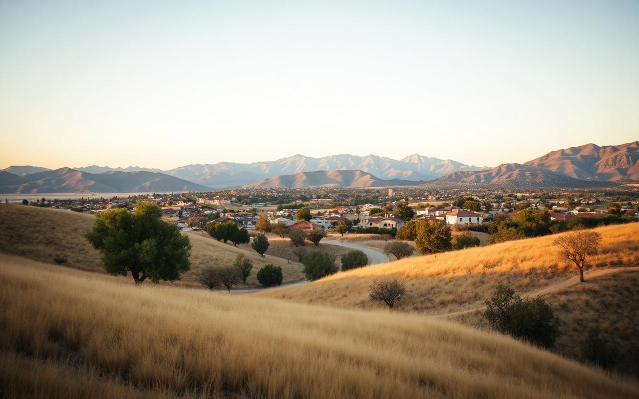
Yucaipa, CA
ZIP 92399
Foothill community at the base of the San Bernardino Mountains. The 2020 El Dorado Fire that killed firefighter Charles Morton burned heavily in this area. Properties throughout Yucaipa face high fire risk requiring annual defensible space compliance.
View Yucaipa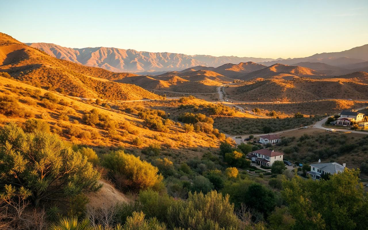
Mentone, CA
ZIP 92359
Unincorporated community between Yucaipa and Forest Falls along the San Bernardino National Forest boundary. Properties face significant wildfire exposure with mandatory defensible space requirements under PRC 4291 and County Code 23.0301-23.0319.
View Mentone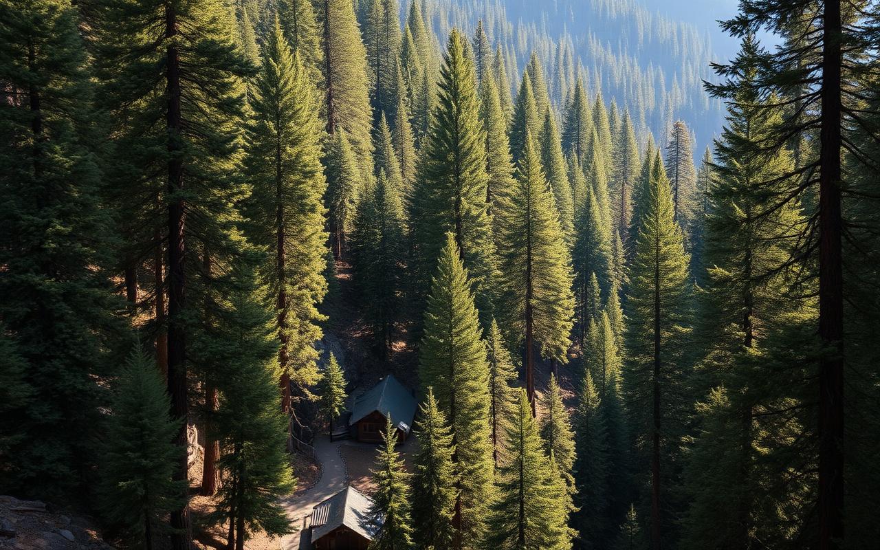
Forest Falls, CA
ZIP 92339
Mountain community within the San Bernardino National Forest. One of California's highest-risk wildfire zones. Properties face annual CAL FIRE inspections and the Mountain Rim Fire Safe Council offers subsidized compliance assistance.
View Forest Falls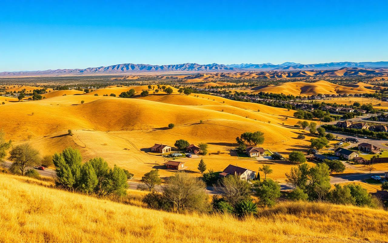
Calimesa, CA
ZIP 92320
Foothill community where the devastating 2019 Sandalwood Fire destroyed 76 structures and killed 2 residents. The fire's spread demonstrated the critical importance of defensible space compliance in this fire-prone area.
View Calimesa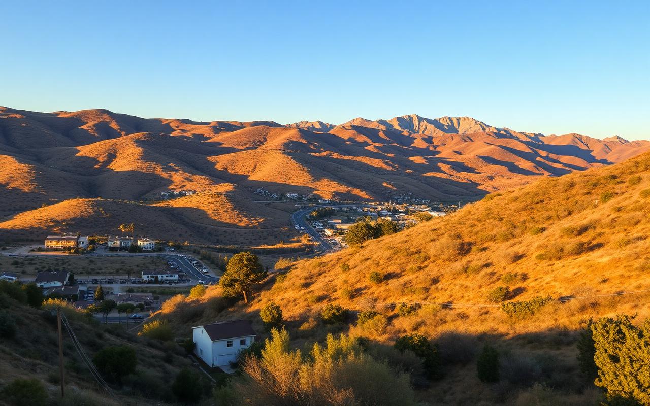
Highland, CA
ZIP 92346
Foothill neighborhoods at the base of the San Bernardino Mountains — East Highlands Ranch and the Greenspot corridor face direct VHFHSZ exposure.
View Highland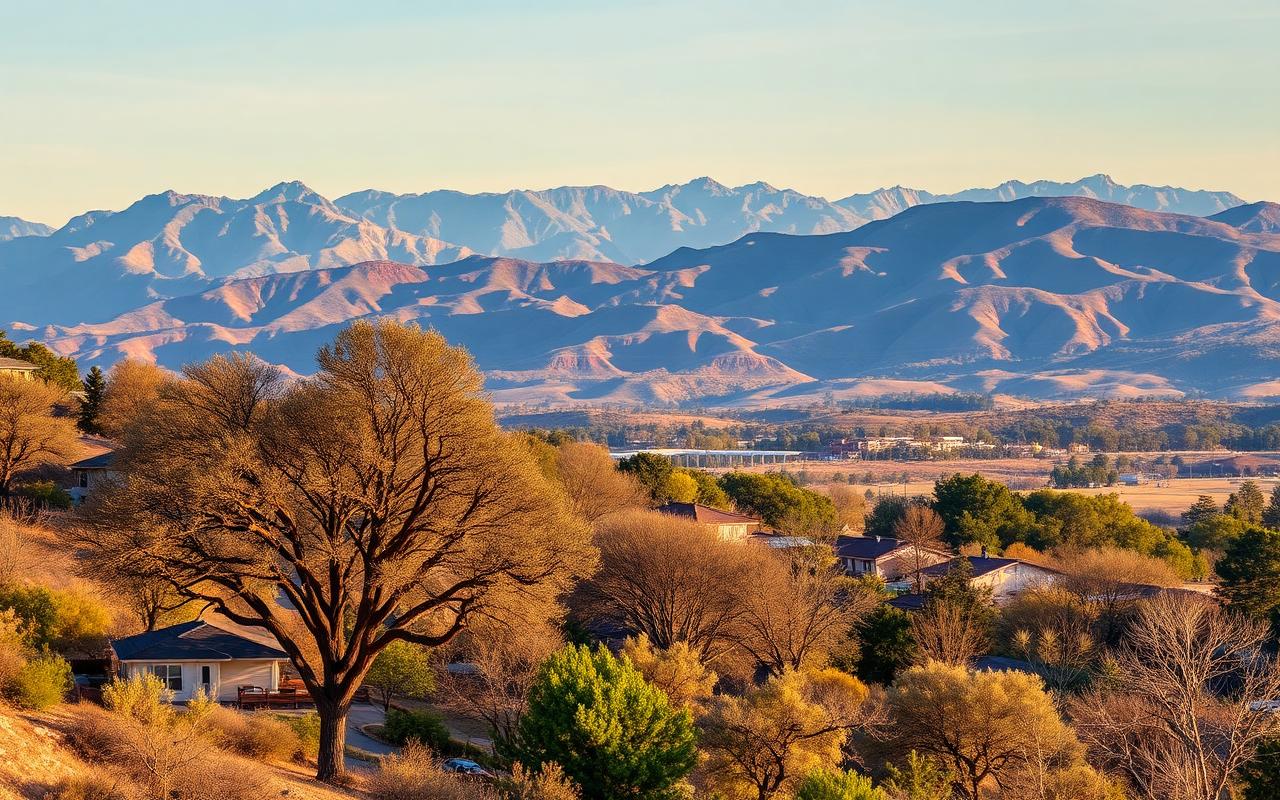
Redlands, CA
ZIP 92373
North Redlands and the Redlands Heights extend into chaparral foothills with Very High Fire Hazard Severity Zone designations.
View Redlands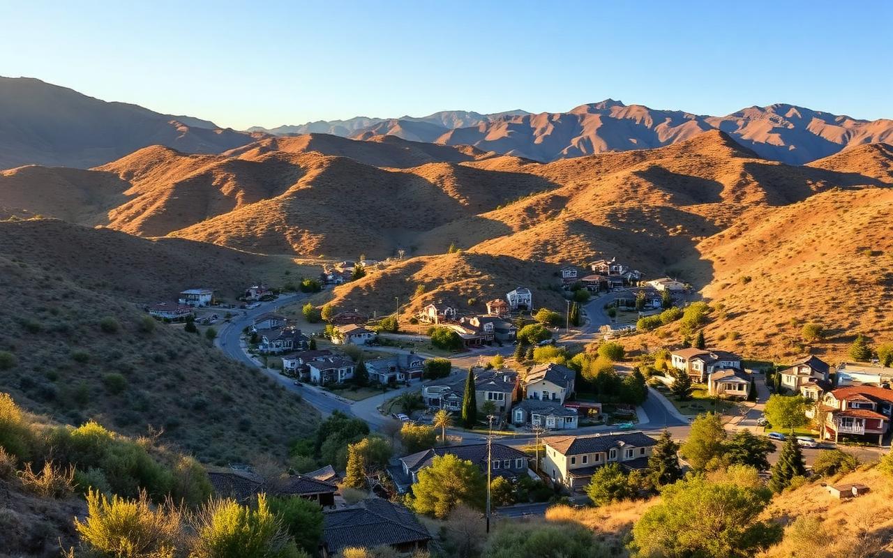
San Bernardino, CA
ZIP 92407
North foothill neighborhoods — Verdemont, Arrowhead Suburban, and the areas above Highway 30 — concentrated foothill fire risk.
View San Bernardino
Rancho Cucamonga, CA
ZIP 91737
Alta Loma and north Rancho Cucamonga sit at the base of the San Gabriel Mountains in significant Very High Fire Hazard Severity Zones.
View Rancho Cucamonga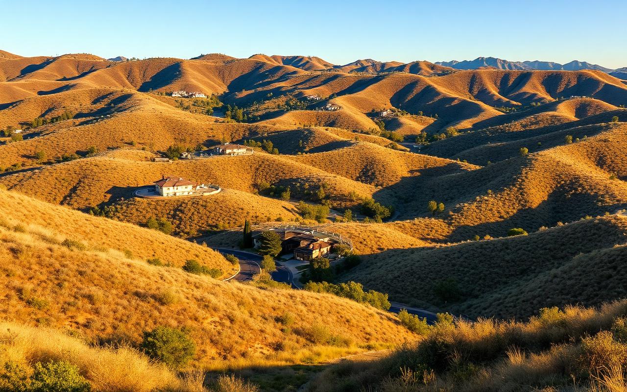
Chino Hills, CA
ZIP 91709
Built across rolling chaparral hillsides — much of Chino Hills sits in VHFHSZ with extensive wildland-urban interface.
View Chino HillsFAQ
Frequently asked
Yes. Vetted contractors offer free on-site assessments and written estimates as a standard practice.
No. The assessment is a documentation deliverable. Many homeowners use it to plan over multiple years.
Typical assessments run 30–60 minutes on-site, depending on lot size and complexity.
Request Your Free Assessment Today
Vetted local contractors. No obligation. Free written estimate.